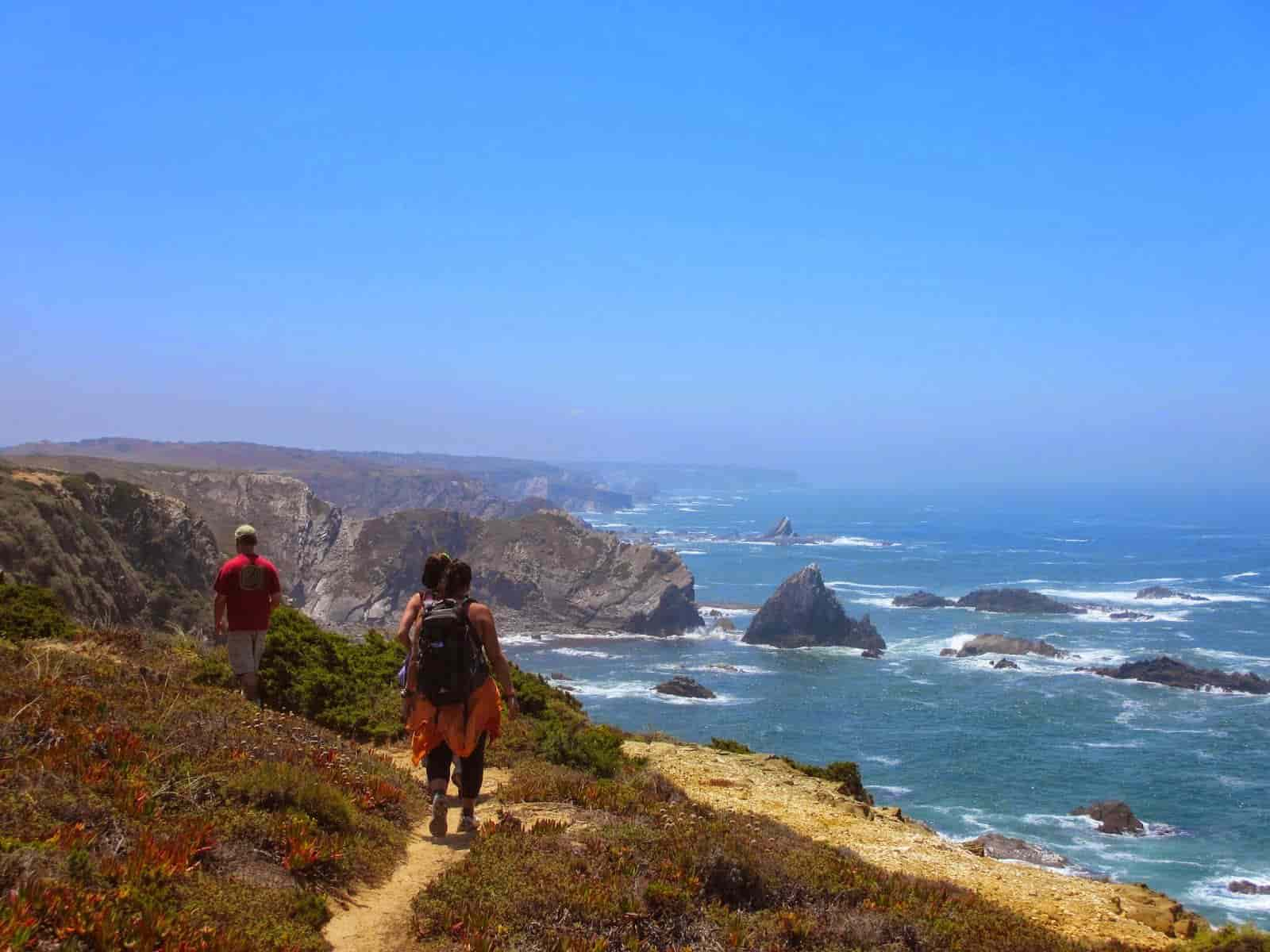
The Fishermen’s Trail is one of the most beautiful coastal trails in the world, located along one of the world’s most stunning coastlines—the Costa Vicentina.
Entirely within the Southwest Alentejo and Vicentine Coast Natural Park, the Fishermen’s Trail intersects with several other trails. Pay close attention to the signage, which in this case is green and blue.

Here, cliffs, the fresh Atlantic breeze, and sand will be your constant companions on this challenging yet immensely rewarding trail.
Following old access paths to beaches and fishing spots, this trail is designed to be done exclusively on foot and can be divided into 13 stages .
So, are you curious to learn more?
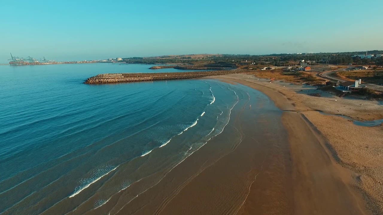
Sines – Porto Covo
You can start the trail from the beginning Sines or save some kilometers and start in S. Torpes.
Therefore, leaving from S. Torpes, it will be just 10 km's to Porto Covo.
That beeing said, this stage is the shortest of the entire trail, but it is no less magnificent for that. It leaves behind the “industrialization” and slowly immerses you in the fabulous Southwest Alentejo and Vicentine Coast Natural Park.
Along the way, you might have the chance to witness one of the oldest traditions in this region—the drying of octopus and moray eel—as if they were clothes hung out to dry.
Appreciate this age-old art developed out of the necessity to preserve fish during times of abundance to ensure food for leaner seasons.
However, if you have time, don’t miss the opportunity to take a dip at S. Torpes Beach before starting your hike.
Porto Covo – Vila Nova de Mil Fontes
Aproveitando a noite anterior para explorar a pitoresca aldeia de Porto Covo, é hora de fazer pés ao caminho para uma etapa algo desafiante devido à sua extensão (20 km) e piso (é sempre em areia). Porém, é o trilho das praias mais famosas desta região como as praias da ilha do Pessegueiro, do Malhão e Aivados.
The diversity of beaches in this stage is what makes it special. You’ll even find beaches with freshwater springs (flowing down from the mountains), giving their names to Vila Nova de Mil Fontes
Vila Nova de Mil Fontes – Almograve
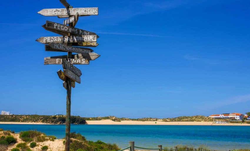
Then, crossing the Mira River, the adventure continues for more 16 km till you reach Almograve.
After crossing the bridge (or, if you want to save your legs a bit, you can cross the river by boat), you’ll reach one of the most beautiful beaches in Portugal—Furnas Beach.
In this stage, besides all the natural beauty, you can also observe the Swifts, which, depending on the season, may be busy building nests or feeding their young.
Almograve – Zambujeira do Mar
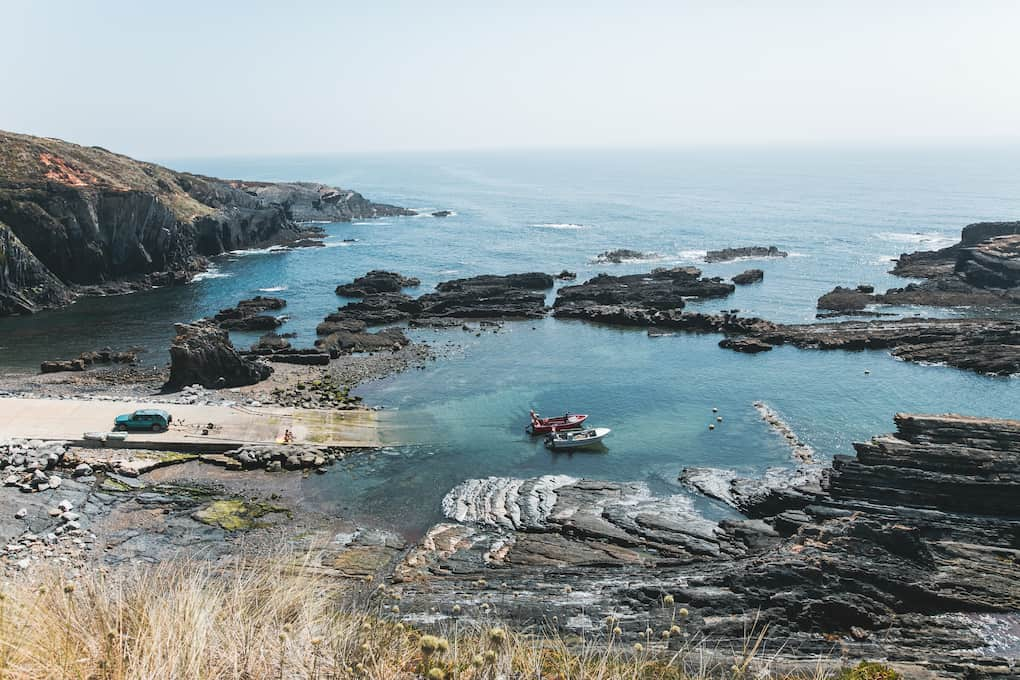
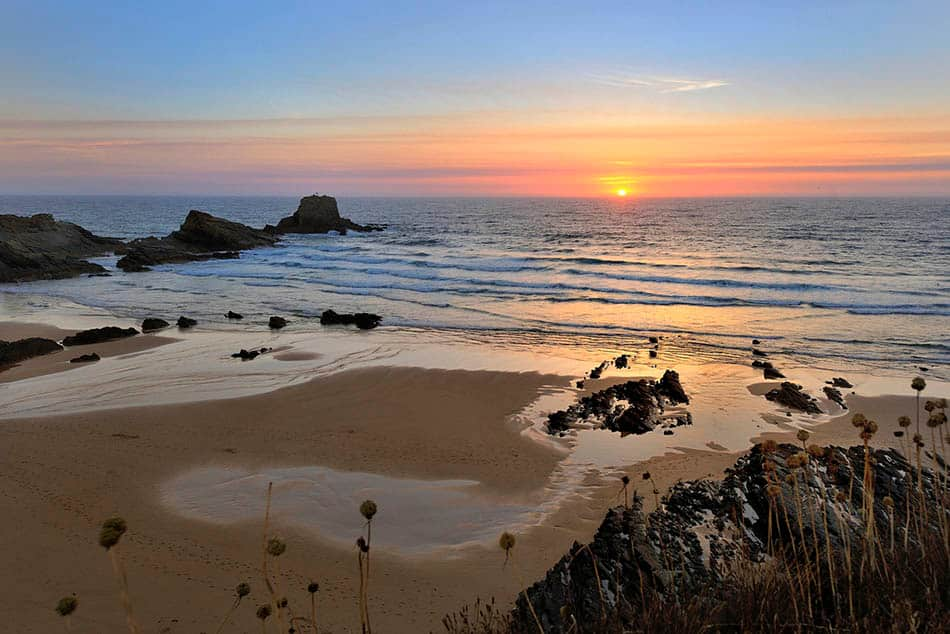
The Fisherman's Trail, continues now, till you reach the famous village of Zambujeira do Mar. Meaning, breathtaking landscapes.
In this 22 km stage, you'll encounter wild beaches, red-tinted dunes, towering cliffs, and traditional fishing ports.
Though long, this stage is usually a favorite among people, as it truly offers a diverse range of landscapes and opportunities to interact with the locals.
About halfway along the route, you'll find Sardão Cape – the westernmost point of the Alentejo coast.
Also, keep an eye out for the area’s most famous resident – the stork.
Zambujeira do Mar – Odeceixe
Between the two most well-known towns of the Costa Vicentina, you'll discover some of the most beautiful beaches in the country. It’s no wonder this stage often becomes one of travelers' favorites as well.
However, nature does nothing by chance, and often the most beautiful places are the hardest to reach. This stage is no exception. With 18.5 km of steep ascents and descents, it’s best to plan your start time carefully to avoid rushing through the trail.
The first 10 km will take you through some of the most stunning yet lesser-known beaches. Between Zambujeira do Mar and Azenhas do Mar, highlights include the beaches of Alteirinhos, Carvalhal, Machados, and Amália.
Azenhas do Mara typical fishing village, is definitely worth a stop for lunch and a chance to connect with the locals.
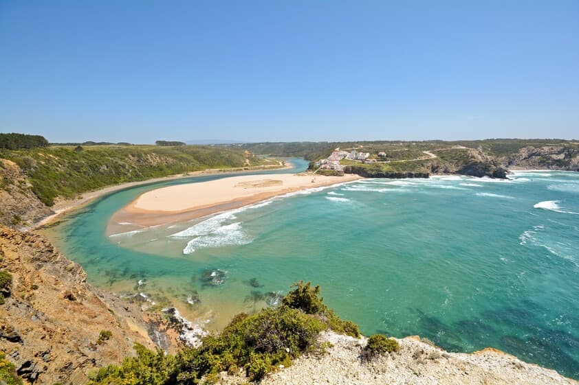
The trail ends in the majestic view to the beach of Odeceixe from the viewpoint in Ponta em BrancoFrom here, it is only 4km till the village of Odeceixe
And so, we say goobye to Alentejo, entering Algarve Alentejo entrando no Algarve.
Odeceixe – Aljezur
To start another day of hiking, we need to return to Odeceixe beach. However, before setting off, don’t forget to visit the Odemira windmill, one of the few still in operation and open to visitors.
In this stage, the trail goes more inland, trading cliffs and rocky edges for a pastoral landscape over 22.5 km.
Untill you reach Rogil you’ll follow alongside an irrigation canal.
Arrive to Rogil (about halfway), you can opt to grab a bite at one of the local restaurants.
From here, the Fishermen’s Trail fully overlaps with the Historical Way, introducing a new set of trail markers – you should stop following the green and blue markers and switch to the red and white ones.
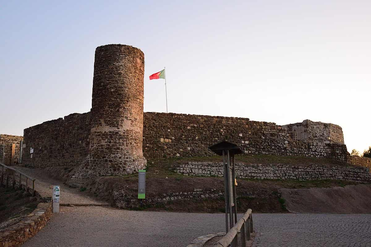
From Rogil - Aljezur it's a stone throw away, and as soon as you arrive, the Trail will lead you through the village streets until you reach it's magnificent Castle (one that is shown in Portuguese flag)
Still, if your legs allow, don’t miss the chance to climb the tower for breathtaking views over the surroundings of Serra de Monchique.
Aljezur – Arrifana
From Aljezur We head once more toward the coast. However, if your legs are beginning to feel tired, you can always take a taxi to Amoreira Beach and continue from there, following the Fishermen’s Trail markers.
In this 18 km stage, besides the stunning Amoreira Beach, you'll also pass through praia Monte do Clérigand the mistic Ponta da Atalaia, where you will find the ruins of Ribat da Arrifana - the only Convent-Fortress known Portugal.
The trails follows then to Arrifana, where you will be astonished with, yet another, breathtaking views.
Arrifana – Carrapateira
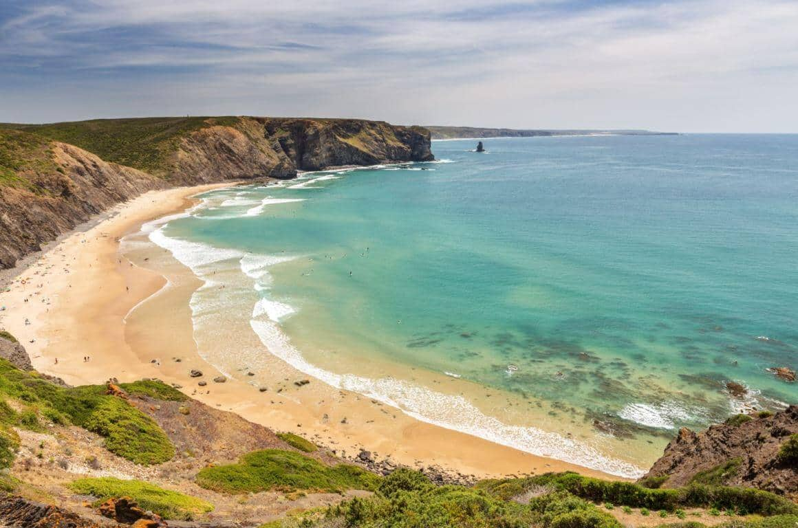
This stage features some of the highest cliffs along the entire trail, reaching up to 100 meters in height.
As such, this is one of the most challenging stages, not only because of the distance (20 km) but also due to some extremely steep ascents and descents.
The trail follows along the coast until Canal Beach (photo), where once again you'll be awed by the magnificent cliffs.
From here, the trail heads inland before returning to the coast, specifically at Bordeira Beach
Upon reaching this magnificent, long beach, you have the option to go down and cross the sand to the other side, saving a few kilometers.
If you prefer to avoid the sand, you can follow the inland trail until you arrive at Ribeira da Bordeira. Skirting the stream, continue for another couple of kilometers until you reach Carrapateira.
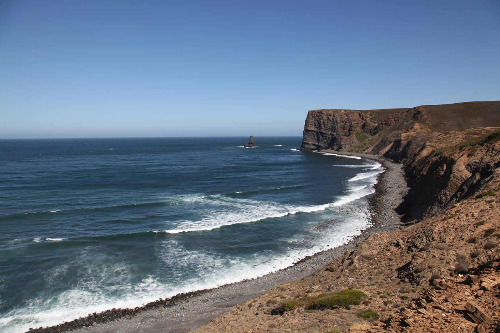
Carrapateira – Vila do Bispo
In this stage, you’ll trade coastal landscapes for mountain scenery. Endless pastures stretch out, where you're almost certain to encounter a flock or two.
However, at the beginning of this 16 km stage, you’ll still walk along part of the coast, with its ever-impressive cliffs and beaches.
Arrived to Murração Beach (photo), the trail then moves inland, replacing coastal views with the rural and mountainous landscapes of a lesser-known Algarve.
On the plateau that takes you to Vila do Bispo you will find Barranco da Pena Furada, a watercourse carved into schist, flows into a small, enchanting beach with the same name. This is a small sandy cove facing northwest, with fascinating rock formations sculpted by marine erosion.
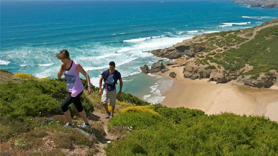
Vila do Bispo – Sagres
In this stage, we head steadily toward the point many of us call the end of Portugal – the tip of Sagres.
However, this stage offers much more than just rugged landscapes. We start the 20 km trail in rural scenery, quickly heading to the coast until we reach Telheiro Beach..
The greatest challenge here will be the coastal wind, so characteristic of this region.
From there, the trail follows steep slopes until we catch sight of the magnificent S. Vicente Cape.
Next, we continue toward Sagres, but not before passing by Santo Antonio de Beliche Fortress with its small beach, as well as the naturist beach of Beliche.
Arrive to Sagres, and dont miss the chance to visit the fortress and feel the wind and power of the waves, at the "end of Portugal"
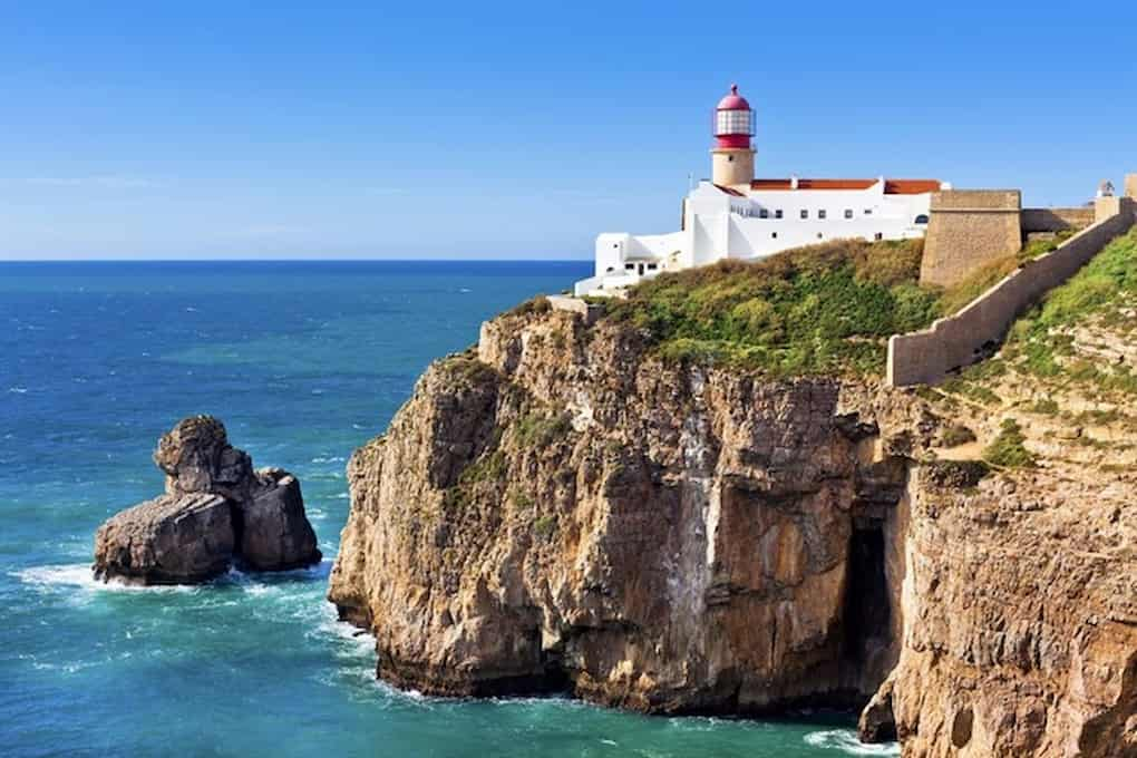
Sagres – Salema
We then enter the heart of the Algarve Barlavento , one of Portugal’s most beautiful and sought-after coastlines for tourists.
Starting from Sagres, the Fishermen’s Trail takes on its most challenging stage, with 20 km of intense ascents and descents, constantly graced by the breathtaking cliffs that are Portugal's postcard image worldwide.
The magnificent beaches of Martinhal, Barranco (photo) , Ingrina, Zavial, Furnas, Figueira are just a few of the points that make this stage so difficult. Nonetheless, every bit of effort is well worth it.
So, make the most of this trail, taking your time and enjoying every part of it, and don’t miss the chance to refresh yourself at the many beaches along the way.
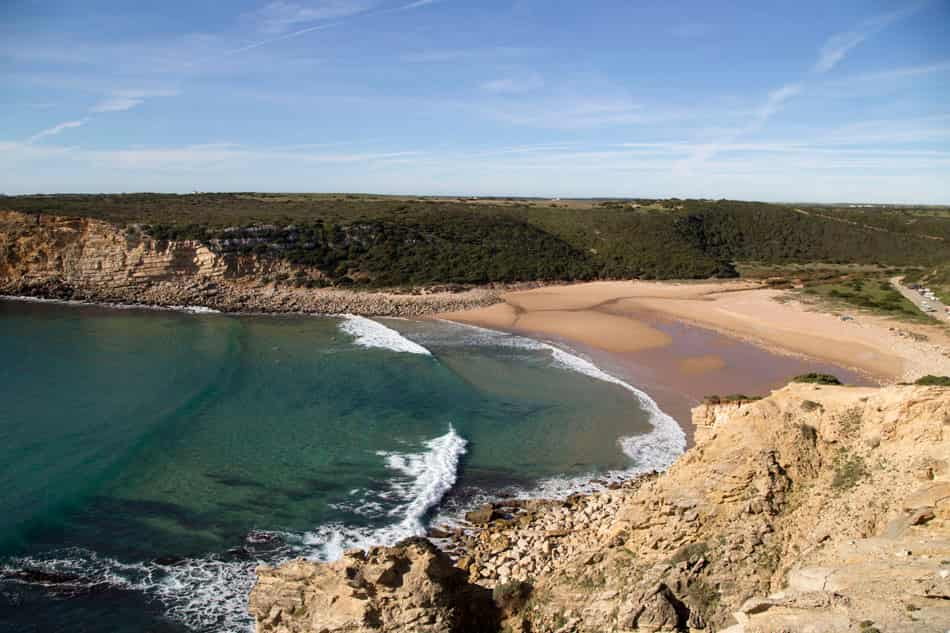
Salema – Luz
In this last stage within the Natural Park, the trail passes by one of the region's most famous yet lesser-known tourist spots.
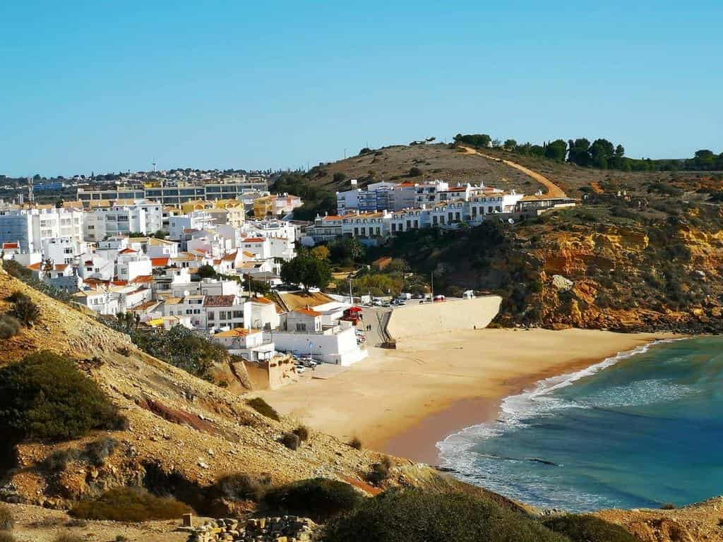
This is the so-called “Portuguese Santorini” - Burgau Village
A small village built on the cliffside, with sand at its “feet.”
Take the opportunity to wander through the narrow streets and sample the local delicacies.
Beaches, forts, and even Roman ruins will be your companions on this stage of just 12 km.
Luz – Lagos
he final stage, just 11 km, takes us toward one of Portugal’s most important and beautiful cities – Lagos.
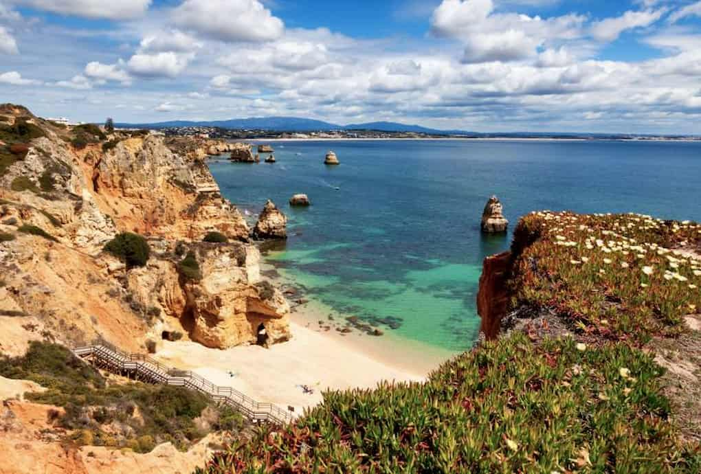
Along the way, its small beaches, almost hidden among cliffs and caves in a variety of colors, provide the perfect setting to end this Grand Coastal Route.
On the way, don't miss the chance to visit Ponta da Piedade Lighthouse, Camilo Beach (photo), D. Ana Beach and Batata Beach.
However, if you have more than one day in Lagos go out and explore the caves with one of the many maritime operators offering a variety of options, from boats to stand-up paddleboards.
And so it ends one of the most beautiful routes of Portugal.
If you plan to do it autonomously, we recommend you check the website of Vicentina Route, as it contains all the necessary information for you to complete this trail safely and, above all, responsibly.
If you need help top plan your hiking trip, contact us.
One of our recomendations, if you dont have all the time to do the complete route, is to choose from Sines a Aljezur or from Aljezur a Lagos.
We know for sure that this will be one of the best hiking trips you will have!
Are you ready to Break Free?

